The Turtleback Mountain Walk

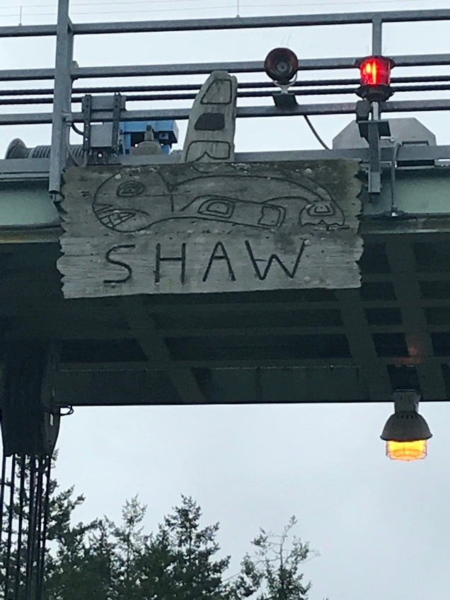
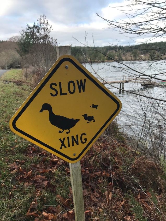
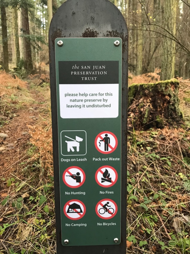
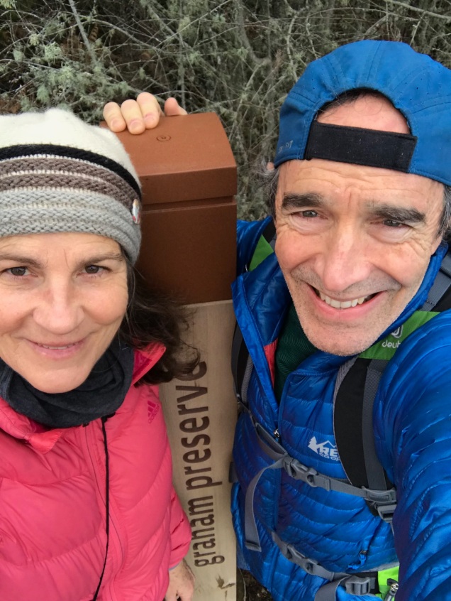
For the last few years, Aaron and I have made it a tradition of taking a long walk over New Year’s somewhere in the San Juan Islands. Last year, we walked on tiny Shaw Island and the year before that, San Juan Island. This year we traveled to Orcas Island to walk over Turtleback Mountain, which through the efforts of the San Juan County Land Bank, the San Juan Preservation Trust, the Trust for Public Lands, and more than 2,000 private donors, is one of the largest protected natural areas in San Juan County. It is comprised of 1,718 acres of woodlands, grasslands, quiet forests, and scattered wetlands. It provides the walker with the occasional fabulous view to the north, west, and south.

From the ferry, one can see why Turtleback Mountain was named Turtleback Mountain!

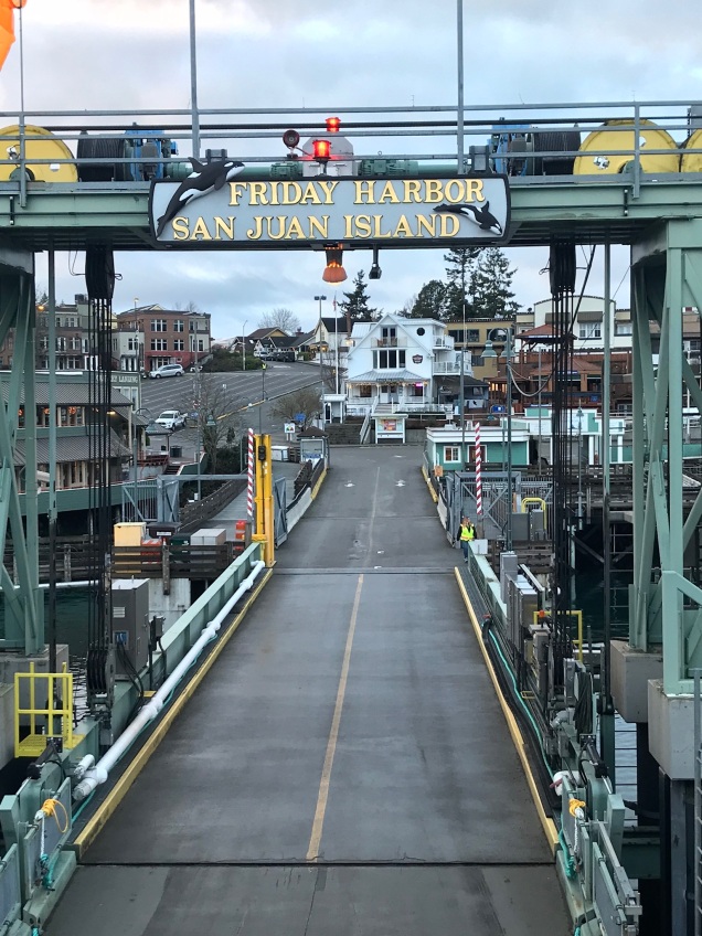
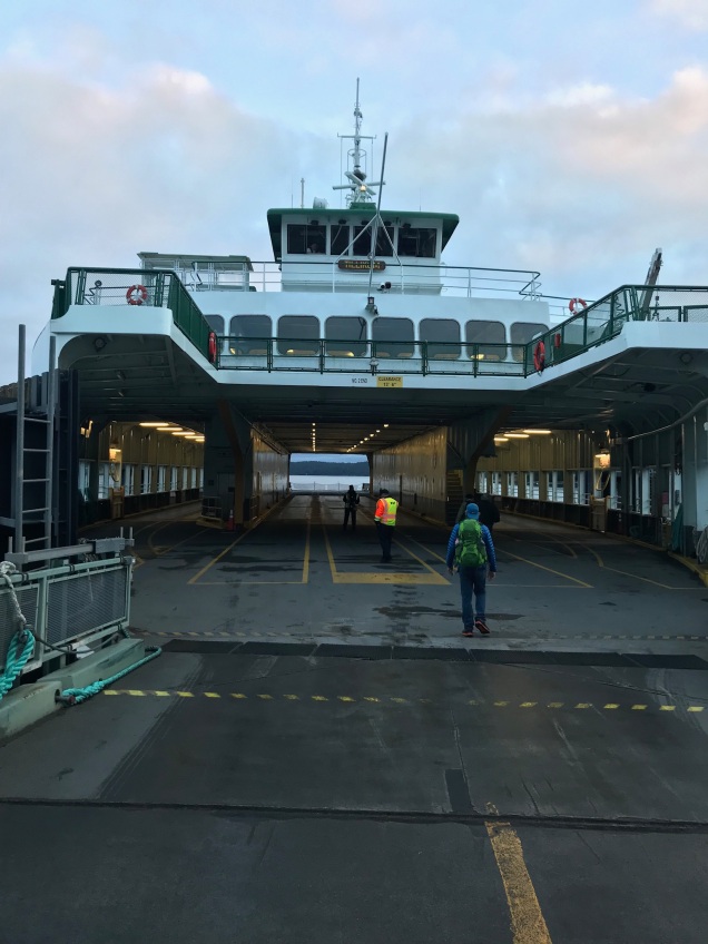
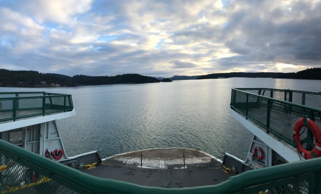
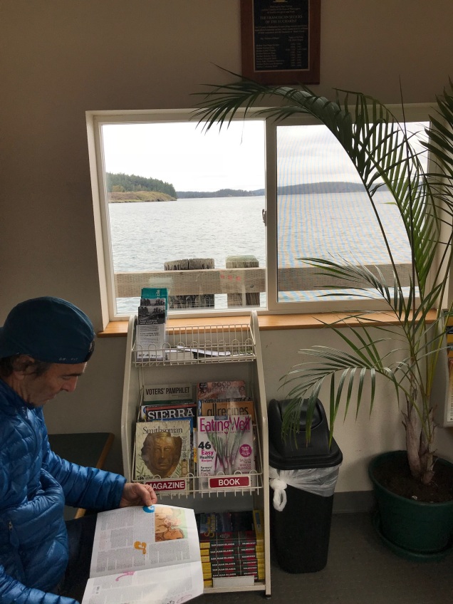
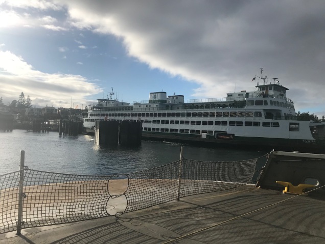
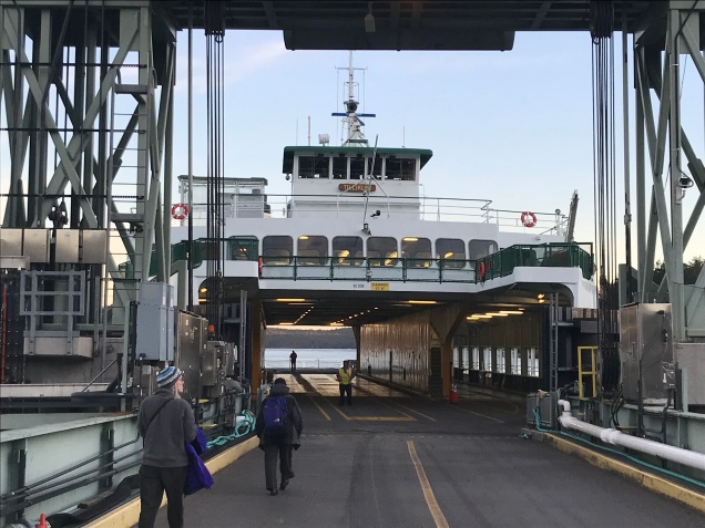
We walked on the Washington State Ferry at Anacortes bound for Friday Harbor on San Juan Island, where we lodged at the Earthbox Inn for two nights. Early in the morning on our one full day, we hopped on the smaller inter-island ferry bound for Orcas Island.

Early morning ferry in Friday Harbor, WA
Walking on an almost empty ferry bound for Orcas Island.

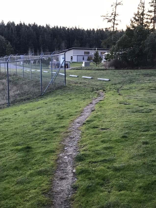
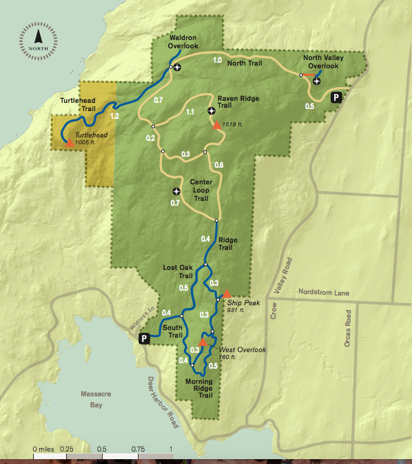
Turtleback Mountain has two trailheads; a northern and a southern. Since we were on foot, we decided to take a taxi to the northern trailhead, through-hike to the southern trailhead, and walk back to the ferry from there. I had arranged with Eric from the Orcas Island Taxi to meet us at the ferry and drive us the 5.7 miles to our starting point. He was waiting and knew exactly where to go! Eric told us he had a big night ahead…since it was New Year’s, he would be offering free rides home to folks between the hours of 12 midnight and 2 a.m…pretty sweet of him.

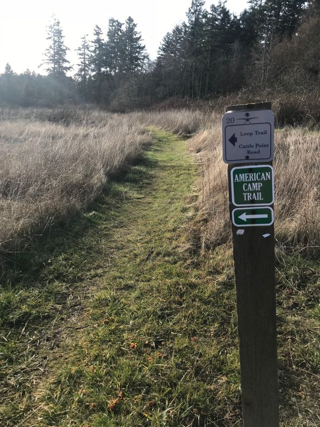
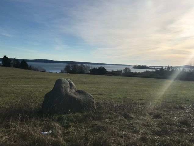
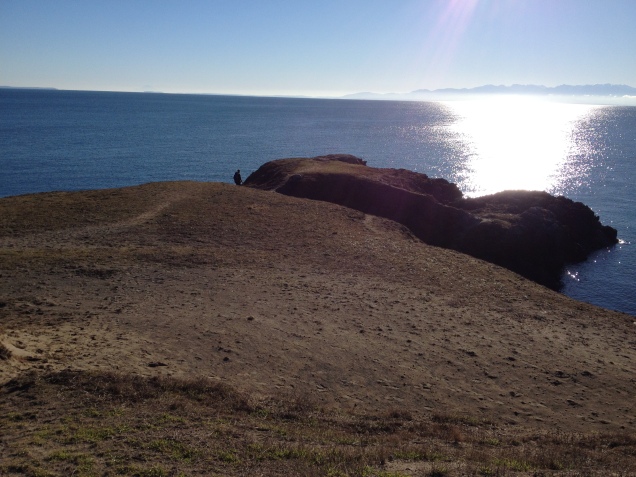
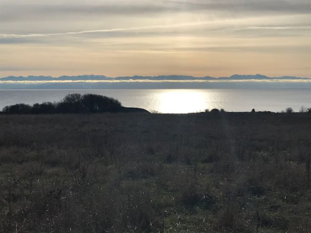
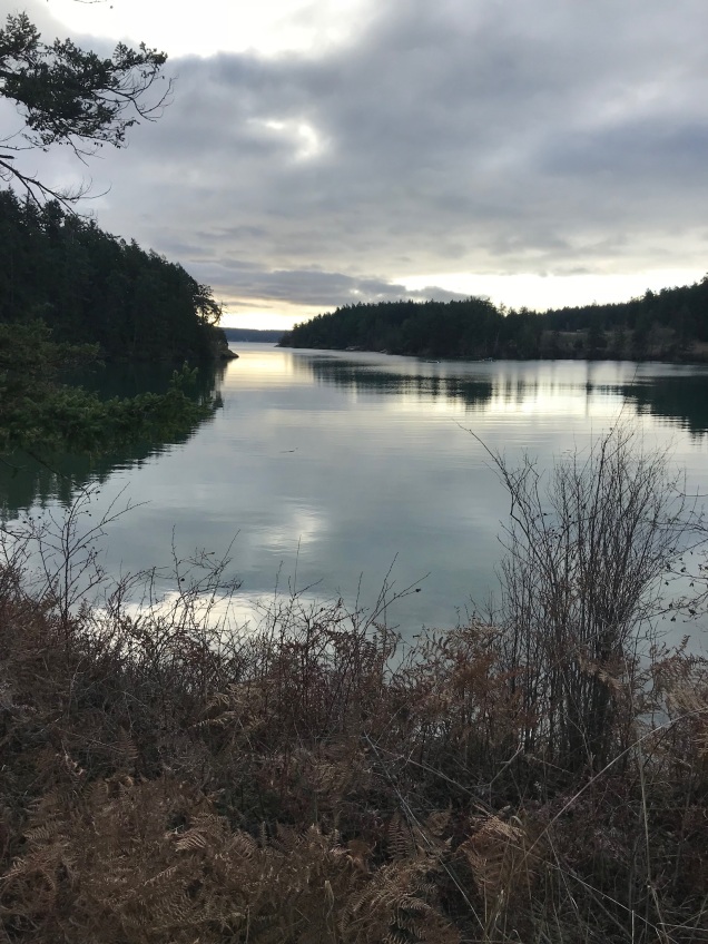
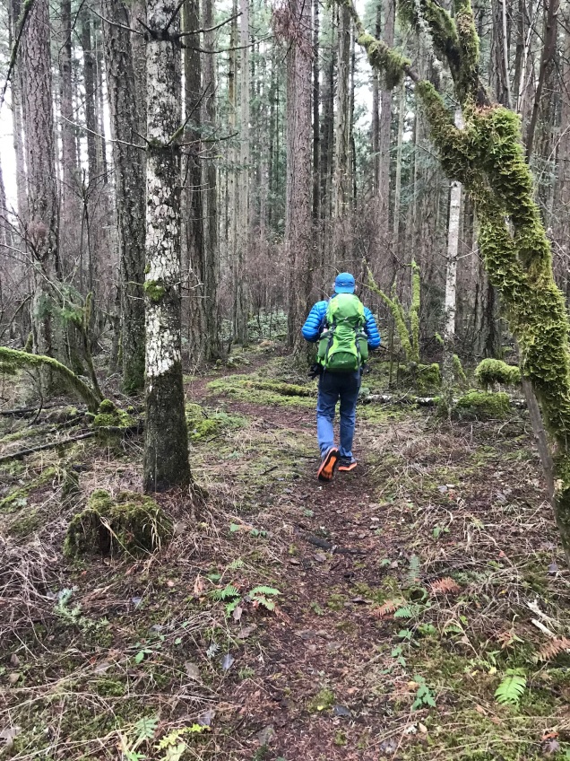
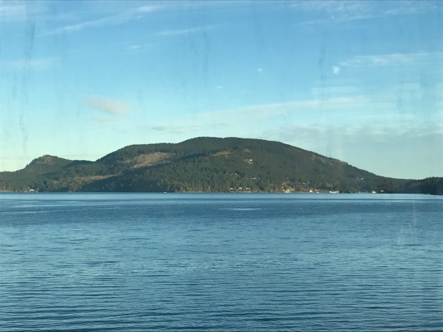
The trail immediately climbs and doesn’t stop until the highest point on the Raven Ridge Trail at 1519 feet. It was a crisp, clear morning and we were soon warmed through and through by the effort this trail required. We stopped at the North Valley Overlook and could see the refineries at Cherry Point near Birch Bay and the Canadian mountains beyond. We also stopped at the Waldron Overlook, which offers amazing views of Waldron Island and beyond to the west. We skipped the Turtlehead Trail due to time constraints. We had to make it back to the ferry by 4 pm and had roughly 4 additional miles of trail walking and about 5 miles of road walking back to the ferry. From the Waldron Overlook, we chose the Raven Ridge Trail, which took us to the summit and from there it was downhill all the way to the south parking lot/trailhead.

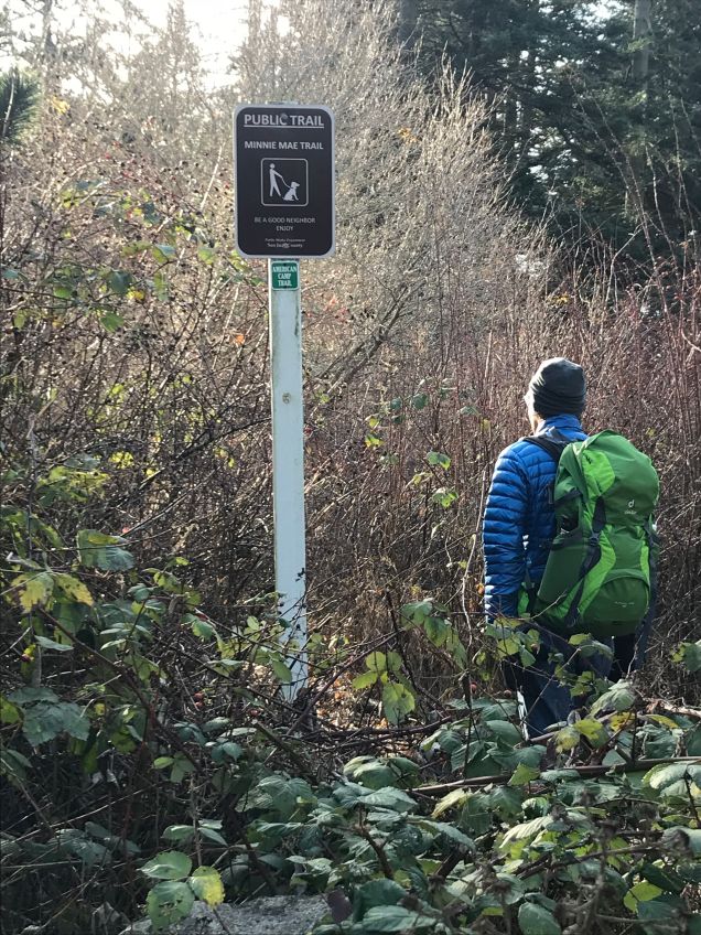
The trail is very well marked. Even so, in addition to food, water, layers, and rain gear, I would suggest bringing a map. Be prepared for a real workout. There are very few switchbacks and the trail is steep. We experienced the kind of post hike soreness that had us going down the stairs in our home backwards for a couple days, if you know what I mean. Also, the 2.5 mile section of road walking along Deer Harbor Road back to the main Orcas Road was the kind of road walking that no one should really do and I can’t recommend. There is virtually no shoulder and many blind turns. But, we made it and in the end had a wonderful day!

Turtleback Mountain Map

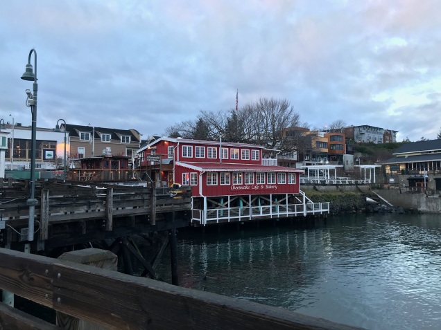
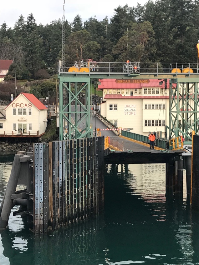
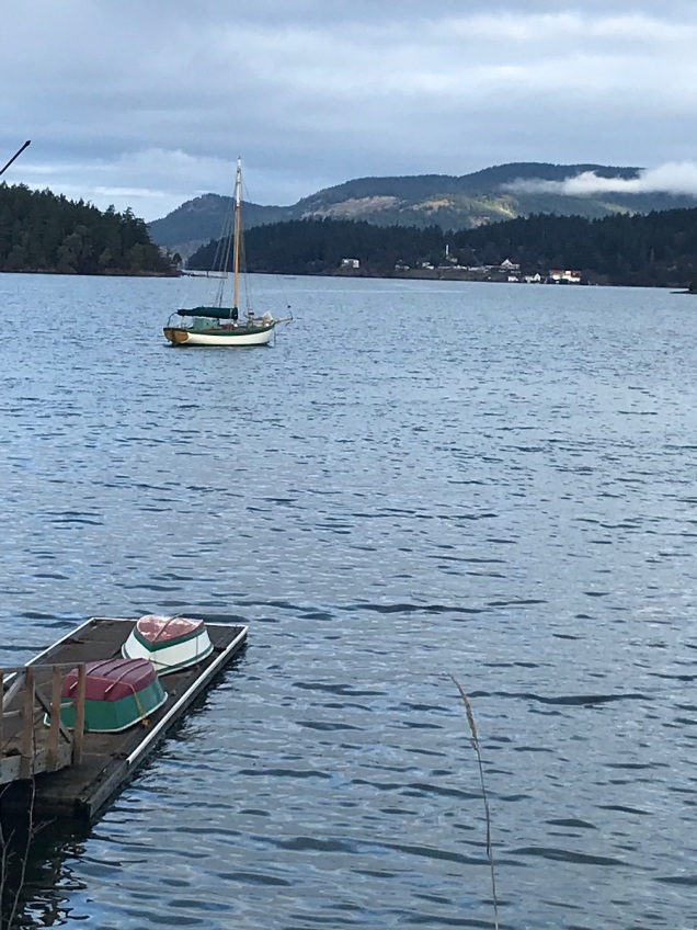
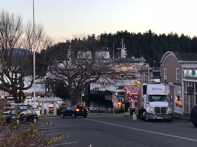
We arrived back at the ferry dock about two hours before our ferry. We grabbed a sandwich from the Orcas Village Store and took it to a newly opened wine bar called Champagne, Champagne. Since it was New Year’s, the owner was serving everything bubbly. We ate our sandwich with a glass of fizzy Pinot Noir, played a few hands of cribbage, and watched the sky turn to an amazing pink. The sun had long set as we arrived back in Friday Harbor.

I’ll close with a video of our day! I hope you enjoy it as much as I do!

Happy Walking and Happy New Year!!

Ann

The Friday Harbor – American Camp Walk

This is the second of two walks we took over New Year’s 2017 in the San Juan Islands. The first was The Shaw Island Walk from our previous post.

Surprisingly, this sign is only posted at American Camp, not in town where the walk begins. It would be helpful if it was posted at the trail head in town.

Overview…

This round-trip walk begins and ends in Friday Harbor, Washington on San Juan Island. The map for the walk says that the mileage is 6 miles to the American Camp Visitor’s Center. We have walked it twice now and believe that it’s more like 7 + miles one way, making it 14 or 15 miles round trip. Additional miles and time are added if you hike on any of the trails in this National Park Service Historic Park, which you really must do. So, prepare for an “all-dayer.” Pack a lunch, snacks, plenty of water, warm layers, and of course, rain gear. We lucked out on both trips here and didn’t need it. It can also be a help against the winds at the southern tip of the island, which is a peninsula of sorts and exposed to the elements on all sides. The trail offers amazing views of Griffin Bay and Mount Baker at many points along the way. Walkers will also enjoy views of the open pastoral land common on San Juan Island.  Miles of additional hiking trails and views of Haro Strait, Vancouver Island, and the Olympic Mountains reward the walker’s efforts at American Camp.

Finding the trail…

This was our second time walking this trail. The first time was at New Year’s, when 2015 turned into 2016. We stumbled upon it quite by accident, not knowing there was a trail all the way to  the south end of the island. Much to our delight, we have found many trails in the same way. This time we knew about the trail, of course, but also found the true beginning of the trail on Spring Street in Friday Harbor. If staying in Friday Harbor, walk up Spring Street, the main road up from the ferry, until the airport becomes visible on the south, or left, side of the street and watch for the teeny-tiny sign that indicates the trail. The signs to follow are green and about 4″ x 4″ and say “American Camp Trail.” Sometimes they are just a small green arrow. The walker must be diligent in looking for them at every crossroads, corner, or intersection. It’s a bit of a fun scavenger hunt as you look for the next clue leading you ever onward towards your destination. There is one short section (about 1/8 mile) of road walking on busy Cattle Point Road. Road walking is never fun for me, but the shoulder was wide-ish and the drivers, for the most part, gave us the space we needed to feel safe.

I would suggest getting an early start if hiking in the winter. We opted for a leisurely morning and found ourselves returning to Friday Harbor just after sunset, which is early here in the Pacific Northwest on New Year’s Eve day…somewhere around 4:15 p.m.. The late start meant we couldn’t spend as much time at American Camp as we had during our first time there.

Teeny-tiny marker for American Camp Trail just past the office supply store. Walk down that dirt road and between the warehouses. This is the beginning of the trail that one can follow all the way to American Camp.
This is the second sign a few paces past the first. It’s the little green signs to watch for on this walk.
Trail running behind warehouses at airport
A short bit of road walking near airport. That is the back of the Friday Harbor Hospital.
San Juan Island Airport is a busy place any day of the year!
This is the first sign on the other side of the airport, where the trail becomes a grassy path.
The trail goes through brushy wetlands south of the airport. See that little green sign? Those are the ones to watch for. This section of trail was also called the Minnie Mae Trail…Minnie Mae from Anne of Green Gables, I’m guessing?
View of Griffin Bay south of Airport on Cattle Point Road
The trail follows Cattle Point Road for quite a distance allowing for views like this one. It’s wonderful how the San Juan Island Trail Committee asked for and received permission of many land owners along the way to construct the trail on their land keeping walkers safely off the road.
The trail following alongside Cattle Point Road.
The trail lies on west boundary of the Frazer Homestead Preserve

The Frazer Homestead Preserve would be a nice side trip to this walk. Here’s a picture of the original farm house with Mount Baker in the background. What a view to wake up to!

Frazer Homestead Preserve with Mount Baker in the distance
Luckily, we passed these gals going both ways. The second time they were brave enough to come as far as the fence would allow to say hello. They both appeared to be pregnant…although I’m no expert on donkeys. ( : They sure were beautiful though.
Cute sign…a little humor never hurts.
We made it!
American Camp view
The sun is well on its way to setting behind the Olympic Mountains as we decide to head back to Friday Harbor about 7 miles away. Luckily, we had our headlamps if needed but there was still plenty of light as we arrived at town tired and hungry.

We saw no other walkers on the trail except a young trail runner close to American Camp and a man walking his dog on the Minnie Mae section. We had to wonder how many people walk from town to American Camp and hope we are not the only ones who enjoy these kinds of adventures. Admittedly, winter walking isn’t everyone’s cup of tea. I’m betting more walkers take advantage of this trail during the summertime.

Thanks for reading and as always, Happy Walking and Happy New Year!

Ann and Aaron


The Shaw Island Walk

Friday Harbor ferry dock from top level of ferry just before setting sail to lovely little Shaw Island for one of two New Year’s weekend walks!!

Getting There (with this walk, getting there was half the fun!)…

This walk begins at the ferry dock on Shaw Island, Washington. You can park your car at the Anacortes Ferry Terminal for $5.00/day, buy a ticket inside, and off you go. Be sure you’re on the correct ferry as this is a busy place, with many ferries coming and going. Also, be sure you know what time you need to be back at the ferry dock on Shaw Island to catch the ferry back to Anacortes. The ferries to Shaw Island are fairly infrequent compared to the other islands, especially in the winter months. Aaron and I were staying on San Juan Island and caught the smaller inter-island ferry over to Shaw Island in the morning and back to San Juan in the afternoon, which was super fun and added to the adventure!

Early morning in Friday Harbor, WA
Boarding an almost empty inter-island ferry at Friday Harbor bound for Shaw Island.
A couple cars loading the ferry at Friday Harbor.
The unmatched sunrise beauty of the San Juan islands at New Years 2017.
Orcas Island Ferry Dock. Our ferry stopped here on its way to Shaw Island.
Arriving at Shaw Island. The dock has retained an original hand-carved sign over the landing.

Shaw Island…

Washington State Ferries serve four of the 172 named islands of the San Juan Islands: San Juan, Orcas, Lopez, and Shaw. Shaw Island is the baby in size and population. It has a year-round population of about 250. There is a historic general store at the ferry dock (closed for the winter), a post office, and an active community center. In a word, it is idyllic, making it the perfect venue for any walk.

The Walk…

I had a fairly good idea of where we were headed, “from the ferry dock, walk south along Blind Bay until you come to the Community Center, turn left, walk some more until you come to Shaw Island County Park, check out the beach at Indian Cove, then continue, in the same direction, to Squaw Bay, where you’ll see the trail head leading north into the Graham Preserve. Follow the trail through the Preserve back to the Community Center and walk back along Blind Bay to the ferry dock.” And that’s pretty much what we did…easy peasy. A few cars passed as we walked and we met two other walkers, who were on holiday on the island. Other than that, we pretty much had the place to ourselves. Oh, I musn’t forget the two cats at the ferry dock, who entertained and kept us company as we awaited the ferry back to Friday Harbor.

View along Blind Bay. That’s the Orcas Island ferry dock across Harney Channel
Traffic sign along Blind Bay
The junction of Blind Bay Road and Squaw Bay Road at the Community Center
Community Center, Shaw Island, Washington

Beach at Shaw Island County Park, a rustic campground.
Squaw Bay
A curious llama at Squaw Bay…he/she was BIG!
Trailhead marker at Graham Preserve

At the terminus of the trail just behind the Community Center…we’re still trying to figure out where to look when taking selfies! ( :
The warming hut at the ferry dock. It had a heater!
“Open the door or else!”
Our new Shaw Island friend…
Shaw Island Ferry Dock and Marina
Arriving back in Friday Harbor just as the BIG ferry from Victoria BC was leaving on it’s way to Anacortes

This walk could easily be made longer by continuing west on Squaw Bay Road, turning north on Hoffman Cove Road, which brings you back to Blind Bay Road. We were constrained by ferry times and actual hours of daylight, which are few at this time of year in the Pacific Northwest. We’ll save that walk for one of our long summer days perhaps.

Thanks for reading. Happy Walking,

Ann and Aaron